Keywords: Boundary
Item 11833
Index Map of International Boundary, 1930
Contributed by: Maine Historical Society Date: 1930 Media: Ink on paper, map
Item 116487
Canaan Corner, Northeast Boundary, ca. 1820
Contributed by: Maine Historical Society Date: circa 1820 Location: Canaan Media: Ink on paper
Item 151256
Haberman residence, Mount Desert, 1994-2007
Contributed by: Maine Historical Society
Date: 1994–2007
Location: Mount Desert
Client: Richard Haberman,
Architect: Patrick Chasse
This record contains 2 images.
Item 151765
Monkhouse residence, Machiasport, 2002-2013
Contributed by: Maine Historical Society Date: 2002–2013 Location: Machiasport Client: Christoper P. Monkhouse Architect: CES, Inc.; William McHenry, Architect
Exhibit
The boundaries of Maine are the product of international conflict, economic competition, political fights, and contested development. The boundaries are expressions of human values; people determined the shape of Maine.
Exhibit
Shepard Cary: Lumberman, Legislator, Leader and Legend
Shepard Cary (1805-1866) was one of the leading -- and wealthiest -- residents of early Aroostook County. He was a lumberman, merchant, mill operator, and legislator.
Site Page
Beyond Borders - Mapping Maine and the Northeast Boundary - Borderland Essays
"… right, pertaining to the drawing of the northeast boundary between the United States in Canada, and the "borderland" region known between what is…"
Site Page
Beyond Borders - Mapping Maine and the Northeast Boundary - People
"… and Kennebec Proprietors, and the Northeast Boundary (Barclay) collections. Map by Francis Joseph Neptune, Cobscook River, 1798 Map by…"
Story
The Journey Home
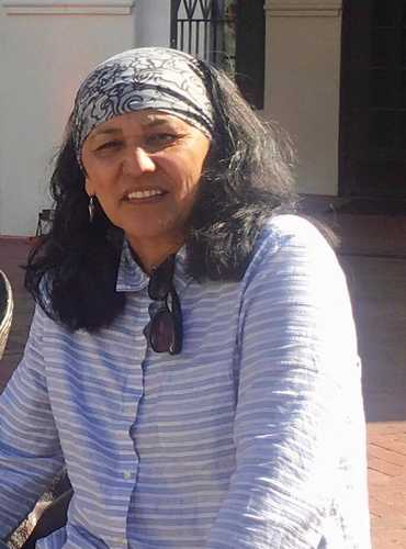
by Gina Brooks
I am a Maliseet artist from the St. Mary’s First Nation, my work is about our connection to the land
Story
A New Beginning for Wabanaki Land Relationships
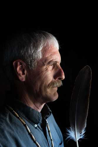
by John Banks
Wabanaki leadership in land stewardship


