Keywords: British -- America -- Maps -- Early works to 1800
Item 104604

New Map of English America, 1777
Contributed by: Osher Map Library and Smith Center for Cartographic Education Date: 1777 Media: Engraving
Item 11827
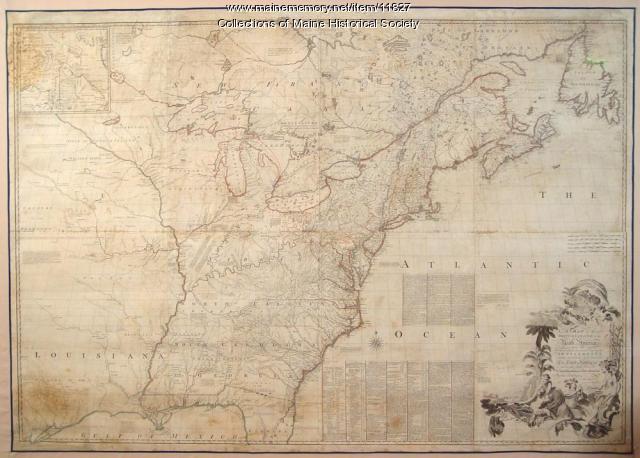
Map of the British and French North America, 1775
Contributed by: Maine Historical Society Date: 1755 Media: Ink on paper, map

Exhibit

The boundaries of Maine are the product of international conflict, economic competition, political fights, and contested development. The boundaries are expressions of human values; people determined the shape of Maine.
Exhibit
Northern Threads: Colonial and 19th century fur trade
A vignette in "Northern Threads: Two centuries of dress at Maine Historical Society Part 1," this fur trade mini-exhibition discusses the environmental and economic impact of the fur trade in Maine through the 19th century.

Site Page

"Alexandra L. Montgomery, “Projecting Power in the Dawnland: Weaponizing Settlement in the Gulf of Maine World, 1710-1800” (Ph.D."
Site Page

"For example, in 1604, Passamaquoddy Bay was the site of one of the first French overwintering settlements in the Americas under an expedition led by…"

