Keywords: Colonial Buildings
Item 109066
Colonial Theater, Belfast, ca. 1932
Contributed by: Penobscot Marine Museum Date: circa 1932 Location: Belfast Media: Film Negative
Item 82321
City Hall, Ellsworth, ca. 1940
Contributed by: Ellsworth Public Library Date: circa 1940 Location: Ellsworth Media: Postcard
Item 37131
7 Colonial Road, Portland, 1924
Owner in 1924: Harry C Libby Use: Dwelling - Single family
Item 37139
23 Colonial Road, Portland, 1924
Owner in 1924: Perley W Stevens Use: Dwelling - Two family
Item 150962
Alterations to New Jerusalem Church, High St. for C.B. Dalton, Portland, ca. 1903
Contributed by: Maine Historical Society Date: circa 1904 Location: Portland Client: Charles B. Dalton Architect: Frederick A. Tompson
Item 151490
John Calvin Stevens house, Portland, 1919
Contributed by: Maine Historical Society
Date: 1905–1942
Location: Portland
Client: John Calvin Stevens
Architect: John Calvin Stevens and John Howard Stevens Architects
This record contains 9 images.
Exhibit
George Popham and a group of fellow Englishmen arrived at the mouth of the Kennebec River, hoping to trade with Native Americans, find gold and other valuable minerals, and discover a Northwest passage. In 18 months, the fledgling colony was gone.
Exhibit
Colonial Cartography: The Plymouth Company Maps
The Plymouth Company (1749-1816) managed one of the very early land grants in Maine along the Kennebec River. The maps from the Plymouth Company's collection of records constitute some of the earliest cartographic works of colonial America.
Site Page
Maine's Swedish Colony, July 23, 1870 - Architecture
"… From the first humble log cabin beginnings, Colony architecture has come to reflect that of many other Maine communities founded in the late 19th…"
Site Page
Maine's Swedish Colony, July 23, 1870 - The Colony Continues to Grow, 1874 - 1900
"The success of the colony was reported in the newspapers the following year. Thomas himself wrote that he only told stories of the victories of the…"
Story
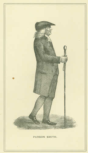
Reverend Thomas Smith of First Parish Portland
by Kristina Minister, Ph.D.
Pastor, Physician, Real Estate Speculator, and Agent for Wabanaki Genocide


