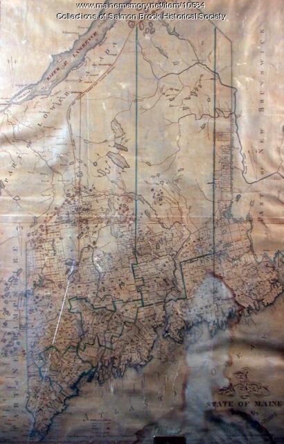
Keywords: Early map
Item 10684
Contributed by: Salmon Brook Historical Society Date: circa 1825 Media: Digital photograph of printed map
Item 104604
New Map of English America, 1677
Contributed by: Osher Map Library and Smith Center for Cartographic Education Date: 1777 Media: Engraving
Exhibit
Colonial Cartography: The Plymouth Company Maps
The Plymouth Company (1749-1816) managed one of the very early land grants in Maine along the Kennebec River. The maps from the Plymouth Company's collection of records constitute some of the earliest cartographic works of colonial America.
Exhibit
Settling along the Androscoggin and Kennebec
The Proprietors of the Township of Brunswick was a land company formed in 1714 and it set out to settle lands along the Androscoggin and Kennebec Rivers in Maine.
Site Page
Farmington: Franklin County's Shiretown - Maps
"All the other maps were built on the base map. Farmington Base Map Farmington Agricultural Sites Farmington Cemeteries Farmington Cultural Interest…"
Site Page
Beyond Borders - Mapping Maine and the Northeast Boundary - People
"Map by Francis Joseph Neptune, Cobscook River, 1798 Map by cartographer Chief Francis Joseph Neptune (Passamaquoddy), 1798Maine Historical Society…"
Story
My career as a wildlife biologist
by Ron Joseph
Rural Maine provided the foundation of a rewarding career as a wildlife biologist.
Story
ROCK AND ROLL CONCERTS OF SOUTHERN MAINE
by Ford Reiche
A story about Rock and Roll in Maine, 1955-1977


