Keywords: Early settlement
Item 4325
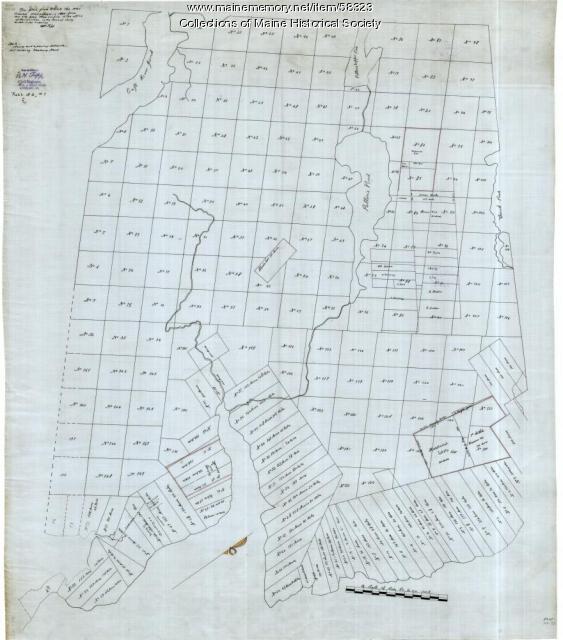
"Brunswick in the late Province of Mayne in New England," 1719
Contributed by: Maine Historical Society
Date: 1718-01-28
Location: Brunswick
Media: Ink on paper
This record contains 2 images.
Item 4324
Androscoggin and Kennebec Rivers, ca. 1755
Contributed by: Maine Historical Society Date: circa 1755 Location: Maine Media: Ink on paper
Exhibit
Settling along the Androscoggin and Kennebec
The Proprietors of the Township of Brunswick was a land company formed in 1714 and it set out to settle lands along the Androscoggin and Kennebec Rivers in Maine.
Exhibit
Colonial Cartography: The Plymouth Company Maps
The Plymouth Company (1749-1816) managed one of the very early land grants in Maine along the Kennebec River. The maps from the Plymouth Company's collection of records constitute some of the earliest cartographic works of colonial America.
Site Page
Mount Desert Island: Shaped by Nature - Early Settlement
"Early Settlement Gravestones of John Savage and Sarah Dolliver SavageNortheast Harbor Library The first generation of Savages on Mount Desert…"
Site Page
Surry by the Bay - Early Settlement
"Early Settlement Copy of Surry and Ellsworth map, ca. 1880Maine Historical Society Border Dispute Originally, Surry extended to the Union…"
Lesson Plan
What Remains: Learning about Maine Populations through Burial Customs
Grade Level: 6-8
Content Area: English Language Arts, Social Studies, Visual & Performing Arts
This lesson plan will give students an overview of how burial sites and gravestone material culture can assist historians and archaeologists in discovering information about people and migration over time. Students will learn how new scholarship can help to dispel harmful archaeological myths, look into the roles of religion and ethnicity in early Maine and New England immigrant and colonial settlements, and discover how to track changes in population and social values from the 1600s to early 1900s based on gravestone iconography and epitaphs.


