Keywords: Land survey
Item 108768

Survey of lot no. 90, Durham, ca. 1790
Contributed by: Maine Historical Society Date: circa 1790 Location: Durham Media: Ink on paper
Item 108756

Plot adjacent to Peables' fence, ca. 1800
Contributed by: Maine Historical Society Date: circa 1800 Location: Maine Media: Ink on paper

Item 150865

Silver Lake section of Summer Haven, Augusta, 1927
Contributed by: Maine Historical Society Date: 1927 Location: Augusta Client: Recreation Land Co. Architect: E. F. Pooler
Item 151800

Mori residence, North Haven, 2016-2018
Contributed by: Maine Historical Society Date: 2016–2018 Location: North Haven Client: Toshiko Mori Architect: LaBranche Land Surveys

Exhibit

Colonial Cartography: The Plymouth Company Maps
The Plymouth Company (1749-1816) managed one of the very early land grants in Maine along the Kennebec River. The maps from the Plymouth Company's collection of records constitute some of the earliest cartographic works of colonial America.
Exhibit

The boundaries of Maine are the product of international conflict, economic competition, political fights, and contested development. The boundaries are expressions of human values; people determined the shape of Maine.

Site Page

"… Barclay Collection that contains documents, land surveys, and maps dating from 1764 to 1893. The collection was mostly gathered by British…"
Site Page

"Exploring survey, St. Croix River to Great Waggansis, 1817Maine Historical Society Growing border tension and violence from 1827 to 1841, especially…"

Story

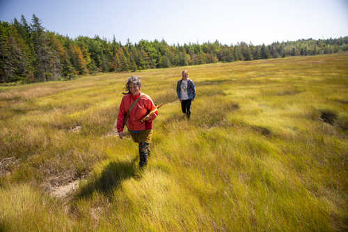
Importance of Insects in Maine
by Charlene Donahue
Doing Insect surveys with the Maine Entomological Society
Story
Welimahskil: Sweet grass
by Suzanne Greenlaw
Weaving Indigenous Knowledge (IK) and western science around Sweetgrass
