Keywords: Plymouth Society
Item 29249
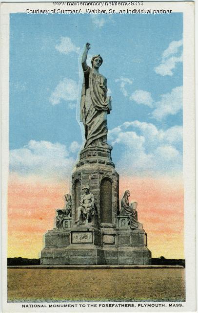
National Monument to the Forefathers model, Hallowell, ca. 1889
Contributed by: Hubbard Free Library Date: 1889 Location: Plymouth Media: Photographic print
Item 84
Plate depicting the landing of the Pilgrims at Plymouth, ca. 1820
Contributed by: Maine Historical Society Date: 1620 Location: Plymouth Media: Earthenware
Item 151511
House for Bradford J. Johnson, Plymouth, NH, 1975
Contributed by: Maine Historical Society Date: 1975 Location: Plymouth Client: Bradford J. Johnson Architect: John Calvin Stevens II
Item 150310
Sketch for Cottage at Nantasket Beach, Hull, MA, 1885
Contributed by: Maine Historical Society Date: 1885 Location: Hull Client: unknown Architect: John Calvin Stevens
Exhibit
Colonial Cartography: The Plymouth Company Maps
The Plymouth Company (1749-1816) managed one of the very early land grants in Maine along the Kennebec River. The maps from the Plymouth Company's collection of records constitute some of the earliest cartographic works of colonial America.
Exhibit
Immigration is one of the most debated topics in Maine. Controversy aside, immigration is also America's oldest tradition, and along with religious tolerance, what our nation was built upon. Since the first people--the Wabanaki--permitted Europeans to settle in the land now known as Maine, we have been a state of immigrants.
Site Page
"… October 27, 1661Maine Historical Society The Plymouth Company, also known as the Kennebeck Purchase Company, Kennebec Proprietors, or The…"
Site Page
Western Maine Foothills Region - Rumford - Page 2 of 4
"The Baptist Church is located just down Plymouth Avenue hill. The English-speaking Anglicans from England constructed a unique structure from stones…"


