Keywords: Walking paths
Item 71866

Cliff Walk, York Harbor, ca. 1938
Contributed by: Boston Public Library Date: circa 1938 Location: York Media: Linen texture postcard
Item 69934

View from bathing beach, Ogunquit, ca. 1938
Contributed by: Boston Public Library Date: circa 1938 Location: Ogunquit Media: Linen texture postcard

Exhibit

At the heyday of trolleys in Maine, many of the trolley companies developed recreational facilities along or at the end of trolley lines as one further way to encourage ridership. The parks often had walking paths, dance pavilions, and various other entertainments. Cutting-edge technology came together with a thirst for adventure and forever changed social dynamics in the process.
Exhibit

Building the International Appalachian Trail
Wildlife biologist Richard Anderson first proposed the International Appalachian Trail (IAT) in 1993. The IAT is a long-distance hiking trail along the modern-day Appalachian, Caledonian, and Atlas Mountain ranges, geological descendants of the ancient Central Pangean Mountains. Today, the IAT stretches from the Katahdin Woods and Waters National Monument in Maine, through portions of Canada, Greenland, Iceland, the Faroe Islands, and Europe, and into northern Africa.

Site Page

Farmington: Franklin County's Shiretown - Maps
"… Map, 1924 Abbott Park Original Design Map "Paths" in Google Earth: Yet another feature of Google Earth is the ability to draw a path on a map to…"
Site Page
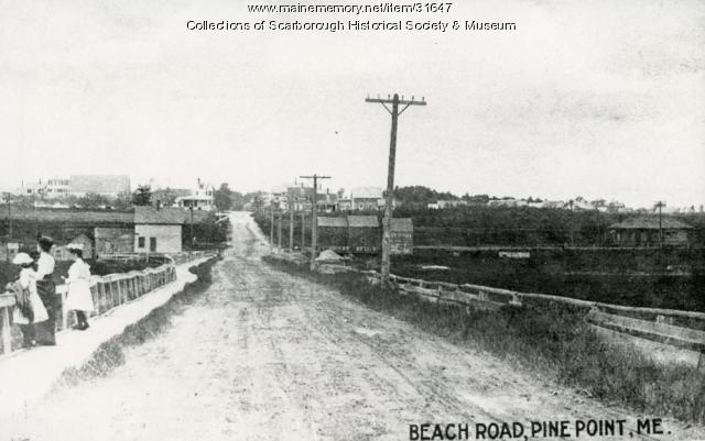
Scarborough: They Called It Owascoag - Roads: From Footpaths to Super Highway
"Certain signs cut on trees marked paths from one home to another; and if marks were cut just right, the traveler could find his way after dark."
Story

A Story in a Stick
by Jim Moulton
A story about dowsing for a well in Bowdoin
Story

If You Knew My Story
by Anonymous (Maine State Prison)
A story about incarceration in Maine

