LC Subject Heading: Kennebec Purchase Company -- Maps-- Early works to 1800
Item 12937
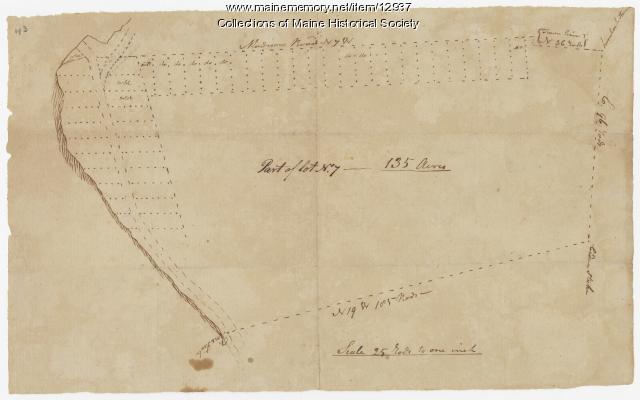
Map of lot no. 7, 135 acres on Madison Road, Skowhegan, ca. 1760
Contributed by: Maine Historical Society
Date: circa 1760
Location: Skowhegan
Media: Ink on paper
This record contains 2 images.
Item 12944
Contributed by: Maine Historical Society
Date: 1764
Location: Sidney
Media: Ink on paper
This record contains 2 images.


