Keywords: Maine--Maps, Manuscript
- Historical Items (117)
- Tax Records (0)
- Architecture & Landscape (0)
- Online Exhibits (4)
- Site Pages (87)
- My Maine Stories (0)
- Lesson Plans (0)
Historical Items
These results include photographs, documents, letters, paintings, artifacts, and many other kinds of Maine related items from collections around the state and elsewhere.
Item 11727
Cathance Millright's land, Topsham, 1759
Contributed by: Maine Historical Society Date: 1759-06-16 Location: Topsham Media: Ink on paper
Item 116555
St. John River Boundary survey, 1843-1844
Contributed by: Maine Historical Society
Date: 1843–1844
Media: Ink on paper
This record contains 6 images.
Item 11746
Contributed by: Maine Historical Society Date: 1749-07-04 Location: Brunswick; Harpswell Media: Ink on paper
Item 12629
Contributed by: Maine Historical Society Date: 1738-01-09 Location: Phippsburg Media: Ink on paper
Item 11729
Land surveyed for Hugh Wilson, Topsham, 1761
Contributed by: Maine Historical Society Date: 1761-01-01 Location: Topsham Media: Ink on paper
Item 11732
Contributed by: Maine Historical Society Date: circa 1760 Location: Topsham Media: Ink on paper
Item 11751
North Yarmouth road, Yarmouth, ca. 1760
Contributed by: Maine Historical Society Date: circa 1760 Location: Yarmouth Media: Ink on paper
Item 116514
St. John River boundary survey, Little Black River rapids, ca. 1843
Contributed by: Maine Historical Society Date: circa 1843 Media: Ink on paper
Item 35622
Contributed by: Maine Historical Society Date: 1871 Location: Lovell Media: Ink on paper
Item 11750
Contributed by: Maine Historical Society Date: 1770 Location: Durham Media: Ink on paper
Item 11749
Contributed by: Maine Historical Society Date: circa 1760 Location: Durham Media: Ink on paper
Item 11758
Samuel and Hugh Wilson's lot in Topsham, 1758
Contributed by: Maine Historical Society Date: 1758 Location: Topsham; Brunswick Media: Ink on paper
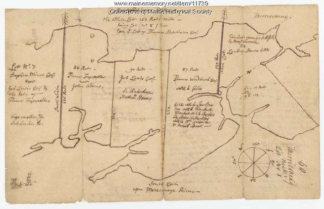
Item 11739
Contributed by: Maine Historical Society Date: 1771-06-17 Location: Harpswell Media: Ink on paper
Item 11741
Contributed by: Maine Historical Society Date: 1742 Location: Harpswell Media: Ink on paper
Item 11748
Joshua Scottow's land boundary, Brunswick, 1737
Contributed by: Maine Historical Society Date: 1737-06-24 Location: Brunswick Media: Ink on paper
Item 11757
John Robinson lot, Topsham, 1761
Contributed by: Maine Historical Society Date: 1761 Location: Topsham Media: Ink on paper
Item 108753
Plan of the Bracket Lots, Androscoggin County, ca. 1800
Contributed by: Maine Historical Society
Date: circa 1800
Location: Durham
Media: Ink on paper
This record contains 2 images.
Item 12558
Contributed by: Maine Historical Society
Date: circa 1800
Location: Skowhegan
Media: Ink on paper
This record contains 2 images.
Item 116533
St. John River boundary survey, 1843-1844
Contributed by: Maine Historical Society Date: circa 1844 Media: Ink on paper
Item 116534
St. John River boundary survey, Five Islands, 1843
Contributed by: Maine Historical Society Date: 1843 Media: Ink on paper
Item 11715
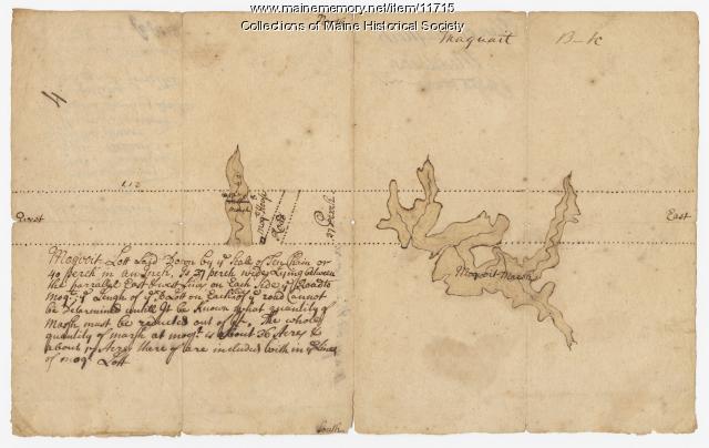
Plan of Maquoit Meadows, ca. 1720
Contributed by: Maine Historical Society Date: circa 1720 Location: Brunswick Media: Ink on paper
Item 11734
Hugh Wilson property, Topsham, 1762
Contributed by: Maine Historical Society Date: 1762-03-04 Location: Topsham Media: Ink on paper
Item 11735
Samuel Wilson lot, Topsham, 1762
Contributed by: Maine Historical Society Date: 1762 Location: Topsham Media: Ink on paper
Item 11752
Contributed by: Maine Historical Society Date: circa 1760 Location: North Yarmouth Media: Ink on paper


