Keywords: lot map
- Historical Items (206)
- Tax Records (0)
- Architecture & Landscape (5)
- Online Exhibits (16)
- Site Pages (37)
- My Maine Stories (2)
- Lesson Plans (0)
Historical Items
These results include photographs, documents, letters, paintings, artifacts, and many other kinds of Maine related items from collections around the state and elsewhere.
Item 58322
Copy of early Surry map, ca. 1880
Contributed by: Maine Historical Society Date: circa 1880 Location: Surry Media: Ink on paper
Item 4316
Plan of J. Robinson lot, Topsham, 1761
Contributed by: Maine Historical Society Date: 1761 Location: Topsham Media: Ink on paper
Item 11731
William Patten's lot, Topsham, 1761
Contributed by: Maine Historical Society Date: 1761-11-24 Location: Topsham Media: Ink on paper
Item 11974
John Merrill lot, Topsham, 1762
Contributed by: Maine Historical Society Date: 1762 Location: Topsham Media: Ink on paper
Item 109000
Dresden and Woolwich proposed border, ca. 1757
Contributed by: Maine Historical Society Date: circa 1757 Location: Woolwich; Dresden Media: Ink on paper
Item 11924
Lots on Maquoit Road, Brunswick, 1761
Contributed by: Maine Historical Society Date: 1761 Location: Brunswick Media: Ink on paper
Item 11757
John Robinson lot, Topsham, 1761
Contributed by: Maine Historical Society Date: 1761 Location: Topsham Media: Ink on paper
Item 11722
Map of Brunswick, lots on Merrymeeting Bay, ca. 1750
Contributed by: Maine Historical Society
Date: circa 1750
Location: Brunswick
Media: Ink on paper
This record contains 2 images.
Item 102072
Plan of Royalsborough, ca. 1766
Contributed by: Maine Historical Society Date: circa 1766 Location: Durham Media: Ink on vellum
Item 108752
Plan of William Libby's lot, Durham, 1819
Contributed by: Maine Historical Society Date: 1819-12-08 Location: Durham Media: Ink on paper
Item 12944
Contributed by: Maine Historical Society
Date: 1764
Location: Sidney
Media: Ink on paper
This record contains 2 images.
Item 5343
Contributed by: Maine Historical Society Date: 1743 Location: Harpswell Media: Ink on paper
Item 12940
Map of lots G1 and G2 for James Pitts, near Clinton, 1769
Contributed by: Maine Historical Society
Date: 1769-11-07
Location: Skowhegan
Media: Ink on paper
This record contains 3 images.
Item 11927
Thomas Wilson lot, Topsham, 1764
Contributed by: Maine Historical Society Date: 1764 Location: Topsham Media: Ink on paper
Item 148717
Map of the southern half of T3 R13, 1909
Contributed by: Maine Historical Society Date: 1909 Location: T3 R13 WELS Media: Ink on paper
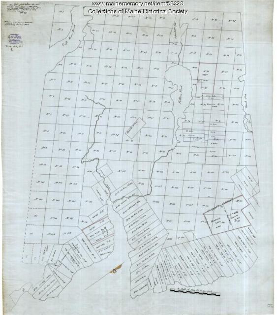
Item 58323
Copy of Surry and Ellsworth map, ca. 1880
Contributed by: Maine Historical Society Date: circa 1880 Location: Ellsworth; Surry Media: Ink on paper
Item 11735
Samuel Wilson lot, Topsham, 1762
Contributed by: Maine Historical Society Date: 1762 Location: Topsham Media: Ink on paper
Item 12939
Henry May, James Larking lot, near the Sheepscot River, 1805
Contributed by: Maine Historical Society
Date: 1805-11-25
Media: Ink on paper
This record contains 2 images.
Item 108766
Plan of lot no. 1, Lewiston, ca. 1800
Contributed by: Maine Historical Society Date: circa 1800 Location: Lewiston Media: Ink on paper
Item 108758
Survey of part of lot 155, 1841
Contributed by: Maine Historical Society Date: 1841-06-17 Media: Ink on paper
Item 11758
Samuel and Hugh Wilson's lot in Topsham, 1758
Contributed by: Maine Historical Society Date: 1758 Location: Topsham; Brunswick Media: Ink on paper
Item 12560
Plan of lots on Sheepscot Pond, Palermo, 1806
Contributed by: Maine Historical Society
Date: 1806-06-27
Location: Palermo
Media: Ink on paper
This record contains 2 images.
Item 108768
Survey of lot no. 90, Durham, ca. 1790
Contributed by: Maine Historical Society Date: circa 1790 Location: Durham Media: Ink on paper
Item 12381
Lot No. 39 of the Plymouth Company grant, June 1764
Contributed by: Maine Historical Society
Date: 1764-06-27
Location: Winslow
Media: Ink on paper
This record contains 2 images.


