Keywords: Maine-Maps
- Historical Items (208)
- Tax Records (0)
- Architecture & Landscape (1)
- Online Exhibits (4)
- Site Pages (162)
- My Maine Stories (0)
- Lesson Plans (0)
Historical Items
These results include photographs, documents, letters, paintings, artifacts, and many other kinds of Maine related items from collections around the state and elsewhere.
Item 16540
Map of the Rangeley Lake and Dead River regions, 1885
Contributed by: Maine Historical Society Date: 1885 Media: Ink on paper
Item 109022
Disputed lot E, Brunswick, 1811
Contributed by: Maine Historical Society
Date: 1811-09-03
Location: Brunswick
Media: Ink on paper
This record contains 3 images.
Item 148723
Timber map of Burbank Township, 1910-1911
Contributed by: Maine Historical Society Date: 1910–1911 Location: Burbank Media: Ink on paper
Item 176
Plan of Portland, engraved as a directory, 1852
Contributed by: Maine Historical Society Date: 1852 Location: Portland Media: Ink on paper
Item 12178
Moses Greenleaf vertical sections, 1829
Contributed by: Maine Historical Society Date: 1829 Media: Ink on paper
Item 148730
Copy of H.S. Ferguson plan for storage dam on Brassua Lake, 1924
Contributed by: Maine Historical Society Date: 1924 Location: Brassua Media: Ink on linen
Item 148977
Map of Dead River Plantation, ca. 1915
Contributed by: Maine Historical Society Date: circa 1915 Location: Dead River Plantation Media: Ink on linen
Item 148978
Map of Township 3 Range 9, ca. 1915
Contributed by: Maine Historical Society Date: circa 1915 Location: T3 R9 WELS Media: Ink on linen; hand coloring
Item 148979
Map of Township 8, Range 11, ca. 1915
Contributed by: Maine Historical Society Date: circa 1915 Location: T8 R11 WELS Media: Ink on linen
Item 148980
Map of Township 10 Range 8, ca. 1915
Contributed by: Maine Historical Society Date: circa 1915 Location: T10 R8 Media: Ink on linen
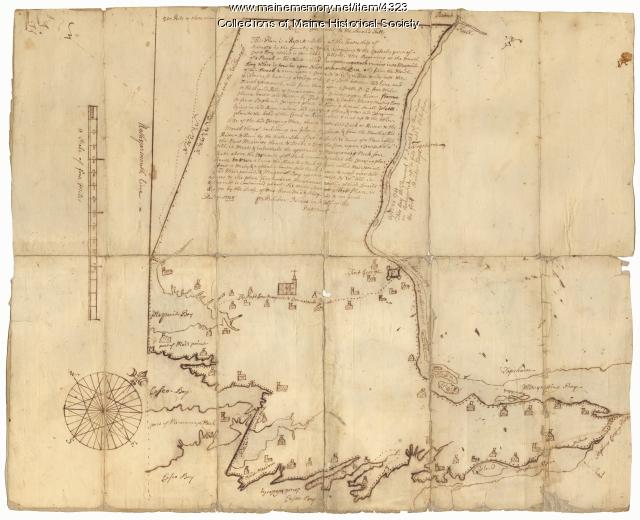
Item 4323
Contributed by: Maine Historical Society
Date: 1738
Location: Brunswick; Harpswell; Topsham
Media: Ink on paper
This record contains 2 images.
Item 6849
Contributed by: Maine Historical Society Date: 1794 Location: Augusta; Hallowell Media: Ink on paper
Item 6892
Contributed by: Maine Historical Society Date: 1872 Media: Ink on paper
Item 9260
Map of ice houses along the Kennebec River, 1891
Contributed by: Maine Historical Society Date: 1891 Media: Ink on paper
Item 10887
Map from Hay's Guide to Portland and Motoring in Maine, 1928
Contributed by: Maine Historical Society Date: 1928 Media: Ink on paper, map
Item 11778
Chart of the Coast of Maine, ca. 1890
Contributed by: Maine Historical Society Date: circa 1890 Media: Ink on paper, map
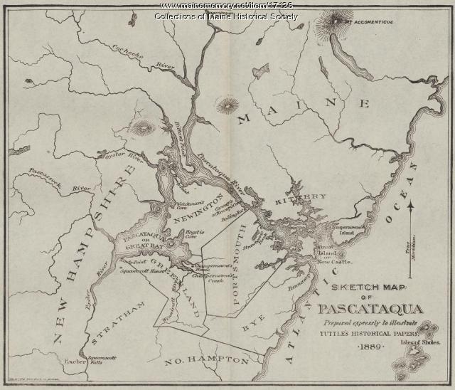
Item 17126
Sketch Map of Pascataqua, ca. 1690
Contributed by: Maine Historical Society Date: circa 1690 Media: Ink on paper, map
Item 59764
Kittery to York Beach electric railroad lines, ca. 1923
Contributed by: Seashore Trolley Museum Date: circa 1923 Location: York; Kittery Media: Ink on paper
Item 59802
Brunswick to Bath electric railroads, ca. 1937
Contributed by: Seashore Trolley Museum Date: circa 1937 Location: Bath; Brunswick Media: Ink on paper
Item 59804
Lewiston, Auburn, and Turner electric railroads, ca. 1928
Contributed by: Seashore Trolley Museum Date: circa 1928 Location: Lewiston; Auburn; Turner Media: Ink on paper
Item 59806
Sabattus Village to Dennis Hill electric railroads, ca. 1941
Contributed by: Seashore Trolley Museum Date: circa 1941 Location: Lewiston; Litchfield; Sabattus; Greene Media: Ink on paper
Item 100726
Plan of Portland enhanced with school districts, ca. 1858
Contributed by: Maine Historical Society Date: circa 1858 Location: Portland Media: Lithograph with hand coloring
Item 103174
Colin Dunn's map of Westport Island, 1935
Contributed by: Westport Island History Committee Date: 1935-02-01 Location: Westport Island Media: Ink on paper
Item 104601
Contributed by: Osher Map Library and Smith Center for Cartographic Education Date: 1677 Media: Woodcut


