LC Subject Heading: Maps -- Maine.
- Historical Items (70)
- Tax Records (0)
- Architecture & Landscape (0)
- Online Exhibits (0)
- Site Pages (0)
- My Maine Stories (0)
- Lesson Plans (0)
Historical Items
These results include photographs, documents, letters, paintings, artifacts, and many other kinds of Maine related items from collections around the state and elsewhere.
Item 105439

Plan of the village of Augusta, 1838
Contributed by: Osher Map Library and Smith Center for Cartographic Education Date: 1838 Location: Augusta Media: Lithograph
Item 135882

Contributed by: Osher Map Library and Smith Center for Cartographic Education Date: 1761 Media: Ink on paper
Item 148723

Timber map of Burbank Township, 1910-1911
Contributed by: Maine Historical Society Date: 1910–1911 Location: Burbank Media: Ink on paper
Item 148725

Plan of Township 3, Range 13, 1915
Contributed by: Maine Historical Society Date: 1915 Location: T3 R13 WELS Media: Ink on linen; hand coloring
Item 148740

Township 5, Range 13 map, 1918
Contributed by: Maine Historical Society Date: 1918–1919 Location: T5 R13 WELS Media: Ink on linen
Item 4323
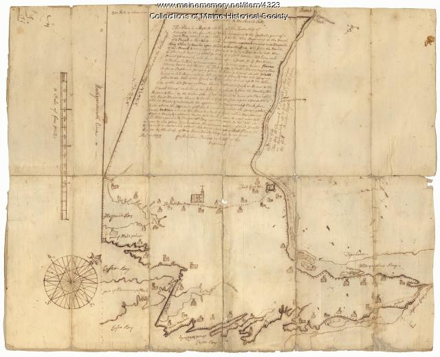
Contributed by: Maine Historical Society Date: 1738 Location: Brunswick; Harpswell; Topsham Media: Ink on paper
Item 4325

"Brunswick in the late Province of Mayne in New England," 1719
Contributed by: Maine Historical Society Date: 1718-01-28 Location: Brunswick Media: Ink on paper
Item 5960

Fort land for William Ross, Brunswick, ca. 1763
Contributed by: Maine Historical Society Date: circa 1763 Location: Brunswick Media: Ink on paper
Item 11726

Contributed by: Maine Historical Society Date: 1795-05-29 Location: Brunswick; Durham; Freeport; Bath Media: Ink on paper
Item 11728

Plan of a road in Brunswick, 1764
Contributed by: Maine Historical Society Date: 1764 Location: Brunswick; Bath Media: Ink on paper
Item 11754

Plan for towns along the Androscoggin River, ca. 1760
Contributed by: Maine Historical Society Date: circa 1760 Location: Livermore Falls; Canton; Mexico; Jay; Leeds Media: Ink on paper
Item 11835

St. Croix Island and Passaquomoddy Bay, 1925
Contributed by: Maine Historical Society Date: 1925 Media: Ink on paper, map
Item 12886

James Bowdoin's property, Lisbon, ca. 1770
Contributed by: Maine Historical Society Date: circa 1770 Location: Lewiston; Lisbon Media: Ink on paper
Item 22489

Northern Maine boundary map, 1843
Contributed by: Maine Historical Society Date: 1843 Media: Ink on paper, map
Item 51266

A.W. Longfellow map of Presumpscot River, Windham, 1840
Contributed by: Maine Historical Society Date: 1840 Location: Westbrook Media: Ink on paper
Item 71156

St. Stephen, New Brunswick, and Calais, 1889
Contributed by: Boston Public Library Date: 1889 Location: Calais; St. Stephen Media: Ink on paper, lithograph
Item 71175

View of Calais and New Brunswick, 1879
Contributed by: Boston Public Library Date: 1879 Location: Calais; St. Stephen; Milltown Media: Ink on paper
Item 122791

Plymouth Company Records, box 1/6, 1750–1751
Contributed by: Maine Historical Society Date: 1750–1751 Location: Brunswick; Georgetown; Newcastle; Topsham; Wiscasset; Wiscassett; georgetown Media: Ink on Paper
Item 4318

Androscoggin River above Lewiston, ca. 1750
Contributed by: Maine Historical Society Date: circa 1750 Location: Turner; Livermore; Wayne; Leeds Media: Ink on paper
Item 11454

Contributed by: Maine Historical Society Date: 1763-08-11 Location: Brunswick; Topsham Media: Ink on paper
Item 37703

Kennebec and Sagadahok rivers plan, 1755
Contributed by: Maine Historical Society Date: circa 1755 Media: Ink on paper
Item 4324

Androscoggin and Kennebec Rivers, ca. 1720
Contributed by: Maine Historical Society Date: circa 1720 Media: Ink on paper
