Keywords: Town of Brunswick
- Historical Items (191)
- Tax Records (0)
- Architecture & Landscape (6)
- Online Exhibits (45)
- Site Pages (43)
- My Maine Stories (8)
- Lesson Plans (0)
Historical Items
These results include photographs, documents, letters, paintings, artifacts, and many other kinds of Maine related items from collections around the state and elsewhere.
Item 11979
Norridgewock Fort and Kennebec River, 1719
Contributed by: Maine Historical Society
Date: 1719
Location: Norridgewock
Media: Ink on paper
This record contains 2 images.
Item 28985
Ernest B. Young in sealskin clothing, Brunswick, 1891
Contributed by: Peary-MacMillan Arctic Museum and Arctic Studies Center Date: 1891 Location: Brunswick Media: Paper, photograph
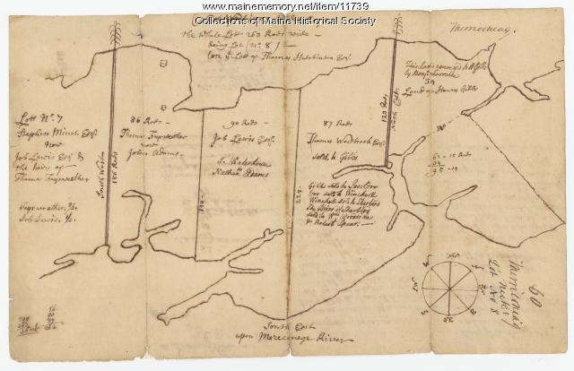
Item 11739
Contributed by: Maine Historical Society Date: 1771-06-17 Location: Harpswell Media: Ink on paper
Item 11732
Contributed by: Maine Historical Society Date: circa 1760 Location: Topsham Media: Ink on paper
Item 9821
Dr. Salustiano Fanduiz, Brunswick, ca. 1895
Contributed by: Pejepscot History Center Date: circa 1895 Location: Brunswick; Harpswell Media: Photograph, print
Item 22212
Contributed by: Aroostook County Historical and Art Museum Date: circa 1870 Location: Houlton Media: Ink on paper
Item 22216
Contributed by: Aroostook County Historical and Art Museum Date: circa 1870 Location: Presque Isle Media: Ink on paper
Item 11758
Samuel and Hugh Wilson's lot in Topsham, 1758
Contributed by: Maine Historical Society Date: 1758 Location: Topsham; Brunswick Media: Ink on paper
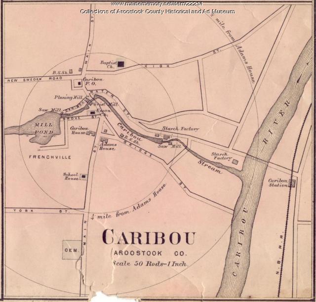
Item 22214
Contributed by: Aroostook County Historical and Art Museum Date: circa 1870 Location: Caribou Media: Ink on paper
Item 11749
Contributed by: Maine Historical Society Date: circa 1760 Location: Durham Media: Ink on paper
Item 102070
Early map of Lewiston, Auburn and Minot, ca. 1820
Contributed by: Maine Historical Society Date: circa 1820 Location: Auburn; Lewiston; Minot Media: Ink on paper
Item 9290
Lebanon voting record for separation from Massachusetts, 1816
Contributed by: Maine Historical Society Date: 1816-09-02 Location: Lebanon Media: Ink on paper
Item 4318
Androscoggin River above Lewiston, ca. 1750
Contributed by: Maine Historical Society Date: circa 1750 Location: Turner; Livermore; Wayne; Leeds Media: Ink on paper
Item 12630
Upper end of Long Reach, Bath, 1728
Contributed by: Maine Historical Society Date: 1728-11-18 Location: Bath Media: Ink on paper
Item 11977
Plan of part of the Eastern Shore, 1753
Contributed by: Maine Historical Society
Date: 1753
Media: Ink on paper
This record contains 2 images.
Item 21976
Robert P. Dunlap, Brunswick, 1831
Contributed by: Maine State Archives Date: circa 1831 Location: Augusta Media: Photographic print
Item 148618
St. John River, Fort Kent, ca. 1979
Contributed by: Acadian Archives Date: 1979 Location: Fort Kent; Clair Media: Postcard
Item 11752
Contributed by: Maine Historical Society Date: circa 1760 Location: North Yarmouth Media: Ink on paper
Item 148644
Madawaska as seen from Edmundston, New Brunswick, ca. 1975
Contributed by: Acadian Archives Date: circa 1975 Location: Madawaska; Edmundston Media: Photographic postcard
Item 148645
Pastor, church, and rectory of St. David, Madawaska, ca. 1916
Contributed by: Acadian Archives Date: circa 1916 Location: Madawaska Media: Photographic postcard
Item 12629
Contributed by: Maine Historical Society Date: 1738-01-09 Location: Phippsburg Media: Ink on paper
Item 12570
Foster's Neck, Georgetown, 1746
Contributed by: Maine Historical Society Date: 1746-11-01 Location: Georgetown Media: Ink on paper
Item 4319
Contributed by: Maine Historical Society Date: circa 1795 Location: Freeport; New Gloucester; Brunswick Media: Ink on paper
Item 12941
Plan of the Kennebec River, Nov. 1763
Contributed by: Maine Historical Society
Date: 1763
Location: Richmond
Media: Ink on paper
This record contains 2 images.


