Keywords: Maine-Maps
- Historical Items (208)
- Tax Records (0)
- Architecture & Landscape (1)
- Online Exhibits (4)
- Site Pages (162)
- My Maine Stories (0)
- Lesson Plans (0)
Historical Items
These results include photographs, documents, letters, paintings, artifacts, and many other kinds of Maine related items from collections around the state and elsewhere.
Item 11739
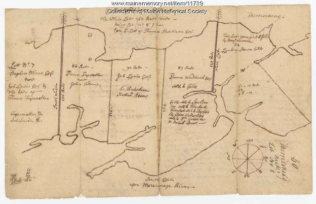
Contributed by: Maine Historical Society Date: 1771-06-17 Location: Harpswell Media: Ink on paper
Item 11741

Contributed by: Maine Historical Society Date: 1742 Location: Harpswell Media: Ink on paper
Item 11746

Contributed by: Maine Historical Society Date: 1749-07-04 Location: Brunswick; Harpswell Media: Ink on paper
Item 11748

Joshua Scottow's land boundary, Brunswick, 1737
Contributed by: Maine Historical Society Date: 1737-06-24 Location: Brunswick Media: Ink on paper
Item 11751

North Yarmouth road, Yarmouth, ca. 1760
Contributed by: Maine Historical Society Date: circa 1760 Location: Yarmouth Media: Ink on paper
Item 11752

Contributed by: Maine Historical Society Date: circa 1760 Location: North Yarmouth Media: Ink on paper
Item 11754

Plan for towns along the Androscoggin River, ca. 1760
Contributed by: Maine Historical Society Date: circa 1760 Location: Livermore Falls; Canton; Mexico; Jay; Leeds Media: Ink on paper
Item 11757

John Robinson lot, Topsham, 1761
Contributed by: Maine Historical Society Date: 1761 Location: Topsham Media: Ink on paper
Item 11758

Samuel and Hugh Wilson's lot in Topsham, 1758
Contributed by: Maine Historical Society Date: 1758 Location: Topsham; Brunswick Media: Ink on paper
Item 20766

Manuscript Map of Moose River, Moosehead Lake, and Kennebeck Road, 1820
Contributed by: Maine Historical Society Date: 1820 Media: Ink on paper
Item 28982

Map of coastal Maine forts, 1723
Contributed by: Maine Historical Society Date: 1723 Media: Pencil on paper
Item 51266

A.W. Longfellow map of Presumpscot River, Windham, 1840
Contributed by: Maine Historical Society Date: 1840 Location: Westbrook Media: Ink on paper
Item 37701

Contributed by: Maine Historical Society
Date: circa 1750
Media: Ink on paper
This record contains 2 images.
Item 105442

Maine coast, a map of Casco Bay, 1960
Contributed by: Osher Map Library and Smith Center for Cartographic Education Date: 1632–1960 Location: Portland; Brunswick; Phippsburg Media: Lithograph
Item 37702

Contributed by: Maine Historical Society Date: 1764-09-15 Media: Ink on paper
Item 109025

Manuscript map of Topsham Lots, 1763
Contributed by: Maine Historical Society Date: 1763 Location: Topsham Media: Ink on paper
Item 4171

Contributed by: Maine Historical Society Date: 1866-07-04 Location: Portland Media: Ink on paper
Item 5343

Contributed by: Maine Historical Society Date: 1743 Location: Harpswell Media: Ink on paper
Item 7494

Map of New England and New York, ca. 1676
Contributed by: Maine Historical Society Date: circa 1676 Media: Ink on paper
Item 10067

Contributed by: Maine Historical Society Date: circa 1780 Location: Gray Media: Ink on paper
Item 10097

Contributed by: The General Henry Knox Museum Date: 1786 Media: Ink on paper
Item 11833

Index Map of International Boundary, 1930
Contributed by: Maine Historical Society Date: 1930 Media: Ink on paper, map
Item 11834

Map showing Monument and Glendenning Brooks, 1924
Contributed by: Maine Historical Society Date: 1924 Media: Ink on paper, map
Item 11836

Map of Passamoquoddy Bay, 1925
Contributed by: Maine Historical Society Date: 1925 Media: Ink on paper, map
