Keywords: Old maps
- Historical Items (19)
- Tax Records (0)
- Architecture & Landscape (5)
- Online Exhibits (25)
- Site Pages (53)
- My Maine Stories (6)
- Lesson Plans (0)
Historical Items
These results include photographs, documents, letters, paintings, artifacts, and many other kinds of Maine related items from collections around the state and elsewhere.
Item 7494
Map of New England and New York, ca. 1676
Contributed by: Maine Historical Society Date: circa 1676 Media: Ink on paper
Item 4177
Contributed by: Maine Historical Society Date: circa 1801 Media: Paper
Item 105521
Views of Old Orchard Beach, 1879
Contributed by: Osher Map Library and Smith Center for Cartographic Education Date: circa 1879 Location: Old Orchard Beach Media: Lithograph
Item 34145
Old Homesteads in Scarborough, ca. 1950
Contributed by: Scarborough Historical Society & Museum Date: circa 1950 Location: Scarborough; Scarborough Media: Ink on paper, photograph
Item 70008
La Voie's Beach Front Cottages, Old Orchard Beach, ca. 1938
Contributed by: Boston Public Library Date: circa 1938 Location: Old Orchard Beach Media: Linen texture postcard
Item 105310
Birds eye view showing Portland Railroad System and connecting lines, 1909
Contributed by: Osher Map Library and Smith Center for Cartographic Education Date: 1909 Location: Saco; Portland; Portland; Old Orchard Beach; South Portland; Cape Elizabeth Media: Lithograph
Item 31520
Locating the old houses of Cumberland map, by Hope Dilloway, 1989
Contributed by: Prince Memorial Library Date: circa 1871 Location: Cumberland Media: Ink and watercolor on paper
Item 6883
St. John and Penobscot Rivers map, 1798
Contributed by: Maine Historical Society
Date: 1798-05-08
Location: Pleasant Point
Media: Ink on paper
This record contains 3 images.
Item 11728
Plan of a road in Brunswick, 1764
Contributed by: Maine Historical Society Date: 1764 Location: Brunswick; Bath Media: Ink on paper
Item 102070
Early map of Lewiston, Auburn and Minot, ca. 1820
Contributed by: Maine Historical Society Date: circa 1820 Location: Auburn; Lewiston; Minot Media: Ink on paper
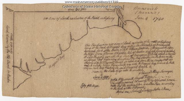
Item 11719
Contributed by: Maine Historical Society Date: 1740-06-04 Location: Brunswick Media: Ink on paper
Item 108757
Survey of land eastern side of No Name Pond, Lewiston, ca. 1800
Contributed by: Maine Historical Society
Date: circa 1800
Location: Lewiston
Media: Ink on paper
This record contains 2 images.
Item 148262
Contributed by: Maine Historical Society Date: circa 1804 Location: Portland; Cape Elizabeth; Westbrook; Gorham; Scarborough Media: ink on paper
Item 59770
Portland, South Portland, & Cape Elizabeth electric railroads, ca. 1941
Contributed by: Seashore Trolley Museum Date: circa 1941 Location: Portland Media: Ink on paper
Item 33695
White's Wharf and vicinity, Biddeford, ca. 1840
Contributed by: McArthur Public Library Date: circa 1840 Location: Biddeford; Saco Media: Ink on coated cotton
Item 101869
Wentworth Homestead, South Berwick, ca. 1900
Contributed by: Old Berwick Historical Society Date: circa 1900 Location: South Berwick Media: Photographic print
Item 18655
Bengt Landin house, New Sweden, 1901
Contributed by: Nylander Museum Date: 1901 Location: New Sweden Media: Photographic print
Item 69109
Fowler-Sumner-Ryerson house, Lubec, 1975, 1975
Contributed by: Lubec Historical Society Date: 1975 Location: Lubec Media: Kodachrome slide
Item 75491
Right side of Fowler House, Lubec, 1975
Contributed by: Lubec Historical Society Date: 1975 Location: Lubec Media: Kodachrome slide


