Keywords: Nautical charts
- Historical Items (9)
- Tax Records (0)
- Architecture & Landscape (0)
- Online Exhibits (2)
- Site Pages (1)
- My Maine Stories (1)
- Lesson Plans (0)
Historical Items
These results include photographs, documents, letters, paintings, artifacts, and many other kinds of Maine related items from collections around the state and elsewhere.
Item 11778
Chart of the Coast of Maine, ca. 1890
Contributed by: Maine Historical Society Date: circa 1890 Media: Ink on paper, map
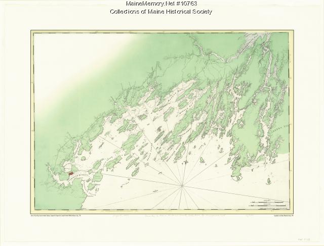
Item 10763
Chart of Casco Bay from the Atlantic Neptune, 1776
Contributed by: Maine Historical Society Date: circa 1776 Media: Ink on paper, map
Item 81262
The route of the "Foster D," ca. 1920
Contributed by: Friendship Museum Date: circa 1920 Media: Photographic print
Item 16876
Portland Harbor chart, ca. 1825
Contributed by: Maine Historical Society Date: circa 1825 Location: Portland Media: Ink on paper
Item 10522
Kennebec and Sheepscot rivers, 1868
Contributed by: Maine Historical Society Date: 1868 Media: Ink on paper
Item 14760
Map of Portland Harbour and islands, 1825
Contributed by: Maine Historical Society Date: 1825 Media: Ink on paper, map
Item 100303
Harbour of Casco Bay, Portland, 1720
Contributed by: Tate House Museum Date: circa 1690 Location: Portland Media: Ink on paper
Item 5741
Detail from a Map of Portland Harbour and islands, 1825
Contributed by: Maine Historical Society Date: 1825 Location: Portland Media: Ink on paper, jpg
Item 148839
Contributed by: Maine Seacoast Mission Date: 1940 Media: Photographic print


