Keywords: United States -- Maps -- Early works to 1800
- Historical Items (19)
- Tax Records (0)
- Architecture & Landscape (0)
- Online Exhibits (2)
- Site Pages (13)
- My Maine Stories (0)
- Lesson Plans (0)
Historical Items
These results include photographs, documents, letters, paintings, artifacts, and many other kinds of Maine related items from collections around the state and elsewhere.
Item 104604

New Map of English America, 1677
Contributed by: Osher Map Library and Smith Center for Cartographic Education Date: 1777 Media: Engraving
Item 9359

Maine, from the United States Gazetteer, 1795
Contributed by: Maine Historical Society Date: 1795 Media: Ink on paper
Item 10832

Map by Francis Joseph Neptune, Cobscook River, 1798
Contributed by: Maine Historical Society Date: 1798 Media: Ink on paper
Item 104602

A plan of the District of Maine, 1795
Contributed by: Osher Map Library and Smith Center for Cartographic Education Date: 1795 Media: Ink on Paper
Item 7950

Islands in Passamaquoddy Bay, ca. 1800
Contributed by: Maine Historical Society Date: circa 1800 Media: Ink on paper
Item 11827
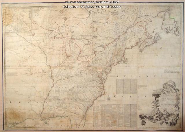
Map of the British and French North America, 1775
Contributed by: Maine Historical Society Date: 1755 Media: Ink on paper, map
Item 7541

Reproduction of 1620 Charter from King James I to the Council for New England, 1885
Contributed by: Maine Historical Society Date: 1620-11-03 Media: Ink on paper
Item 7540

Map of the New England Coast, 1610
Contributed by: Maine Historical Society Date: 1610 Media: Ink on paper
Item 111012

A Plan of the Rivers Scoodich and Magaguadavic, including the Bay of Passamaquoddy, 1798
Contributed by: Maine Historical Society Date: 1798 Media: Ink on paper
Item 100303

Harbour of Casco Bay, Portland, 1720
Contributed by: Tate House Museum Date: circa 1690 Location: Portland Media: Ink on paper
Item 6883

St. John and Penobscot Rivers map, 1798
Contributed by: Maine Historical Society Date: 1798-05-08 Location: Pleasant Point Media: Ink on paper
Item 11823

Champlain map copy, St. Croix or Bone Island, ca. 1799
Contributed by: Maine Historical Society Date: circa 1613 Media: Ink on paper
Item 28982

Map of coastal Maine forts, 1723
Contributed by: Maine Historical Society Date: 1723 Media: Pencil on paper
Item 6843

A map of the boundary line explored in 1817
Contributed by: Maine Historical Society Date: 1817 Media: Ink on paper
Item 116516

Extract from a Map of the British and French Dominions in North America, 1755
Contributed by: Maine Historical Society Date: circa 1755 Media: Ink on paper
Item 6851

Chief Wasp map of Lake Vermillion, Sandy Point, ca. 1820
Contributed by: Maine Historical Society Date: circa 1825 Media: Graphite on paper
Item 6278

The town of Falmouth, burnt by Capt. Moet, October 18, 1775
Contributed by: Maine Historical Society Date: 1775-10-18 Location: Portland Media: Photograph, map
Item 135901

Description of Pagan and Chipman’s Meetings with Francis Joseph Neptune, 1796
Contributed by: Maine Historical Society Date: 1796 Location: St. Andrews Media: Ink on Paper
Item 62539

Chart of the Penobscot River, ca. 1779
Contributed by: Maine Historical Society Date: 1779 Location: Castine Media: Ink on paper
