LC Subject Heading: Early maps
- Historical Items (9)
- Tax Records (0)
- Architecture & Landscape (0)
- Online Exhibits (0)
- Site Pages (0)
- My Maine Stories (0)
- Lesson Plans (0)
Historical Items
These results include photographs, documents, letters, paintings, artifacts, and many other kinds of Maine related items from collections around the state and elsewhere.
Item 104600

Map of the District of Maine, 1815
Contributed by: Osher Map Library and Smith Center for Cartographic Education Date: 1815 Media: Engraving
Item 104603

Map of the State of Maine, 1820
Contributed by: Osher Map Library and Smith Center for Cartographic Education Date: 1820 Media: Engraving
Item 104604

New Map of English America, 1777
Contributed by: Osher Map Library and Smith Center for Cartographic Education Date: 1777 Media: Engraving
Item 104782

Contributed by: Osher Map Library and Smith Center for Cartographic Education Date: 1793 Media: Engraving
Item 104783

Contributed by: Osher Map Library and Smith Center for Cartographic Education Date: 1794 Media: Engraving
Item 104601

Contributed by: Osher Map Library and Smith Center for Cartographic Education Date: 1677 Media: Woodcut
Item 104938

"New England the Most Remarqueable Parts Thus Named," 1637
Contributed by: Osher Map Library and Smith Center for Cartographic Education Date: circa 1614 Media: Engraving
Item 10763
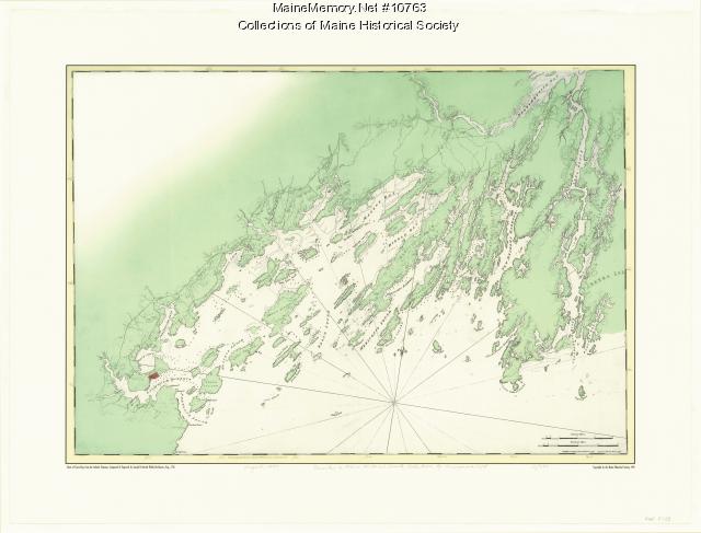
Chart of Casco Bay from the Atlantic Neptune, 1776
Contributed by: Maine Historical Society Date: circa 1776 Media: Ink on paper, map
Item 105015

Figure de la Terre Neuve, grande riviere de Canada, et cotes de l'ocean en la Nouvelle France, 1618
Contributed by: Maine Historical Society Date: 1607 Media: Ink on paper
