LC Subject Heading: Freeport (Me.)--Maps
- Historical Items (6)
- Tax Records (0)
- Architecture & Landscape (0)
- Online Exhibits (0)
- Site Pages (0)
- My Maine Stories (0)
- Lesson Plans (0)
Historical Items
These results include photographs, documents, letters, paintings, artifacts, and many other kinds of Maine related items from collections around the state and elsewhere.
Item 10834
Maine, Freeport sheet, Topographic map, 1892
Contributed by: Maine Historical Society Date: 1892 Media: Ink on paper
Item 4319
Contributed by: Maine Historical Society Date: circa 1795 Location: Freeport; New Gloucester; Brunswick Media: Ink on paper
Item 108755
Land of Samuel Sylvester, Prout's Gore, 1813
Contributed by: Maine Historical Society Date: 1813-11-05 Location: Freeport Media: Ink on paper
Item 11929
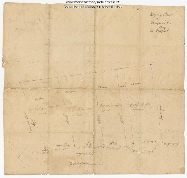
Flying Point at Maquoit Bay, Freeport, ca. 1770
Contributed by: Maine Historical Society Date: circa 1770 Location: Freeport; Brunswick Media: Ink on paper
Item 22383
Contributed by: Maine Historical Society Date: 1727 Location: North Yarmouth; Falmouth; Freeport Media: Ink on paper
Item 12888
Yarmouth, North Yarmouth and Freeport, 1727
Contributed by: Maine Historical Society Date: 1727-12-19 Location: Freeport; Yarmouth; Freeport; Yarmouth; North Yarmouth Media: Ink on paper


