Keywords: maps
- Historical Items (953)
- Tax Records (0)
- Architecture & Landscape (275)
- Online Exhibits (36)
- Site Pages (267)
- My Maine Stories (8)
- Lesson Plans (6)
Site Pages
These sites were created for each contributing partner or as part of collaborative community projects through Maine Memory. Learn about collaborative projects on MMN.
Site Page

Islesboro--An Island in Penobscot Bay - Businesses and Cottage Industries
"Businesses and Cottage Industries map of Islesboro Text by John Mitchell Blacksmith, Islesboro, ca."
Site Page

"Again, Charles's aesthetic prevailed. Map of Asticou Corner, Northeast Harbor, ca. 1954Mount Desert Island Historical Society Thuya Garden…"
Site Page

Mount Desert Island: Shaped by Nature - The Bryants and Rockefellers: Two Seal Harbor Families
"… was formed, putting Mount Desert Island on the map as an official tourist destination. A huge player in the success of Acadia National Park was…"
Site Page

Historic Hallowell - Police and Fire Citations
""Town of Dresden Fire Fighters." Dresden, Maine. Dresden Fire Department, uknown. Web. 09 May 2011. <http:// townofdresden.com/map.shtml>."
Site Page

Scarborough: They Called It Owascoag - Historical Overview - Page 1 of 4
"Historical Overview Map of Scarborough with MarshlandScarborough Historical Society & Museum Scarborough: They Called it Owascoag Text by…"
Site Page

View collections, facts, and contact information for this Contributing Partner.
Site Page

View collections, facts, and contact information for this Contributing Partner.
Site Page

Western Maine Foothills Region - Regional and Town History
"Google Maps tells us that the distance between Byron and Buckfield—respectively the northern and southern-most towns in RSU 10—is 43 miles, with a…"
Site Page

Westport Island History Committee
View collections, facts, and contact information for this Contributing Partner.
Site Page

Life on a Tidal River - Four Important Women of Bangor
"“Cemetery Map - Mount Hope Cemetery Corp & Crematory - America's Second Garden Cemetery.” Mount Hope Cemetery Corp & Crematory, Mount Hope Cemetery…"
Site Page

"Champlain’s early map gives this island the name “Brule-Cote,” meaning “Burnt-hill” in his native French, presumably due to evidence of past fires on…"
Site Page
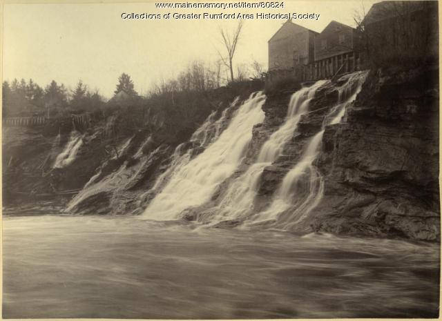
Western Maine Foothills Region - Rumford High School Basketball - 1970s - Page 1 of 2
"… of the 1970’s that really put the town “on the map” with its sports prominence. In a recent Bangor Daily News farewell to the Auditorium article…"
Site Page

"Map of Cobscook Bay Area, 1881Lubec Memorial Library Lubec’s connection to the sea and its close proximity to the Canadian Maritimes have shaped its…"
Site Page

Cumberland & North Yarmouth - "Main Streets" of North Yarmouth and Cumberland
"This has made Greely Road look like a zipper on a map! Cumberland Center Points of Interest The Buxton house at 363 Main Street, at the corner of…"
Site Page

View collections, facts, and contact information for this Contributing Partner.
Site Page

Mount Desert Island: Shaped by Nature - Building Of The Arts Era
"… Broadway debut at the age of 32 put her on the map as a skilled monologist and actress. Her work was lauded by many writers and performing artists…"
Site Page

Bath's Historic Downtown - Intersection of Centre and Washington
"According to several city maps, around 1910, the church had a vestry added to it. In 1890, a large organ was purchased for the church."
Site Page

Bath's Historic Downtown - 94 Front Street
"… in the early 1850s, according to the 1858 map of Bath, and city tax records, David Tilden Stinson rented the location from Oliver Moses, running a…"
Site Page

Scarborough Historical Society & Museum
View collections, facts, and contact information for this Contributing Partner.
Site Page

Lubec, Maine - Canning Sardines in Lubec: Technology, the Syndicate and Labor
"… of on-ground realities, the Sanborn Insurance maps, offer testimony. Canneries in Lubec in the 1903 edition show rooms labeled as places where cans…"
Site Page

Presque Isle: The Star City - History of Presque Isle
"History of Presque Isle Map of Presque Isle, ca. 1870Presque Isle Historical Society Text by: Kimberly R."
Site Page

New Portland: Bridging the Past to the Future - North New Portland Village
"… New Portland is the town, as it is listed on many maps, but it is one of the thee villages in the town of New Portland, ME., Somerset County."
Site Page
Lincoln, Maine - That Pioneer Spirit
"… family and friends—a place already labeled on a map—to arrive somewhere without these foundations and struggle to create them."
Site Page

Islesboro--An Island in Penobscot Bay - Historical Overview
"Historical Overview map of Islesboro by Olivia Boucher and Melissa L. Olson Survey Chart, Islesboro, 1884Islesboro Historical Society…"
